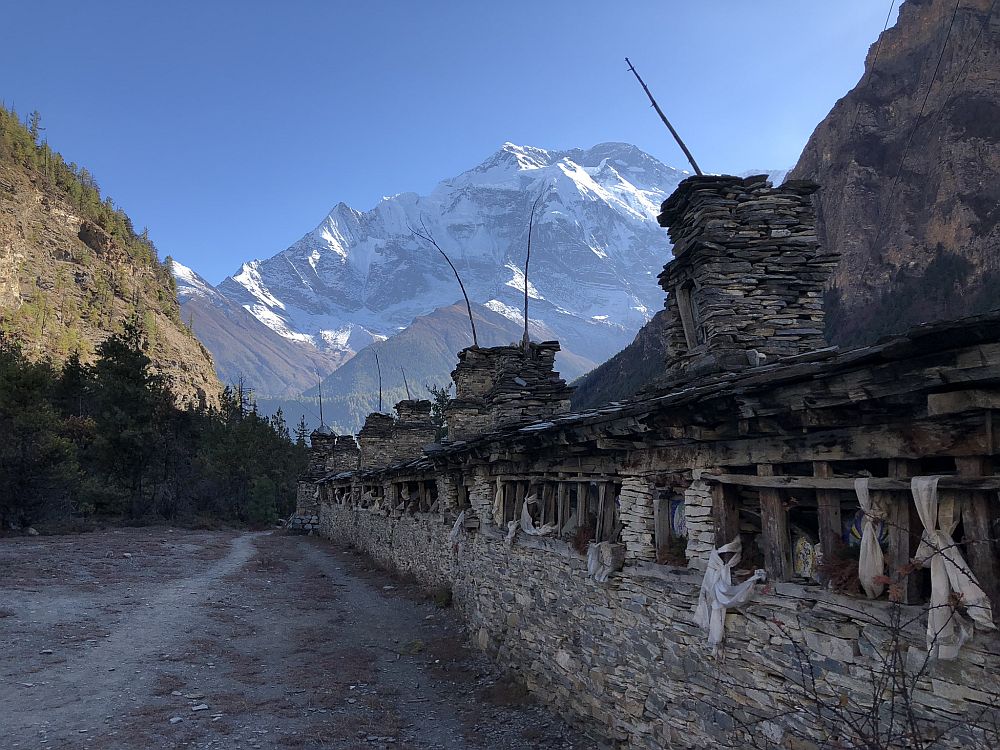
One Bad Day
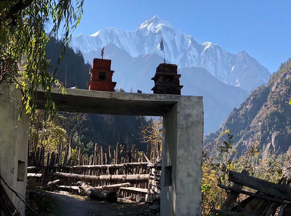
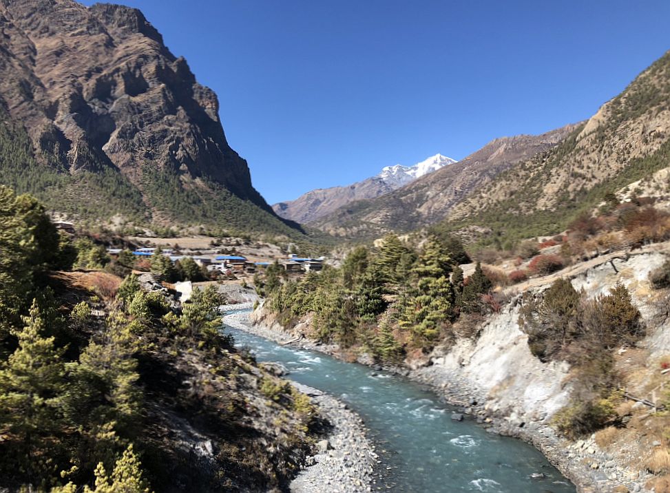
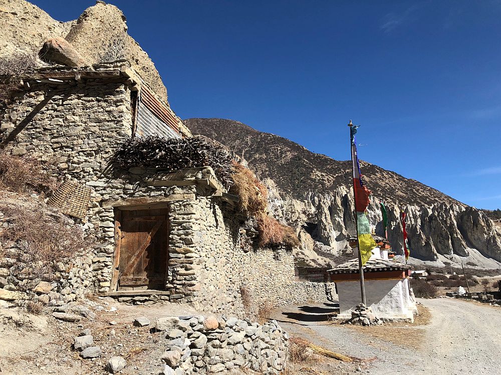
Starting out from my lodge in Jharkot, reliable guides pointed across the horse pastures and rock-walled fields to a white house on other side of the small valley. From there, a trail was visible climbing over the bare hill to the next valley, down to the town of Lubra. I was contemplating whether this would be the last day of hiking on the Annapurna Circuit Trek, and the weather was perfect for the half-day walk to Jomson.
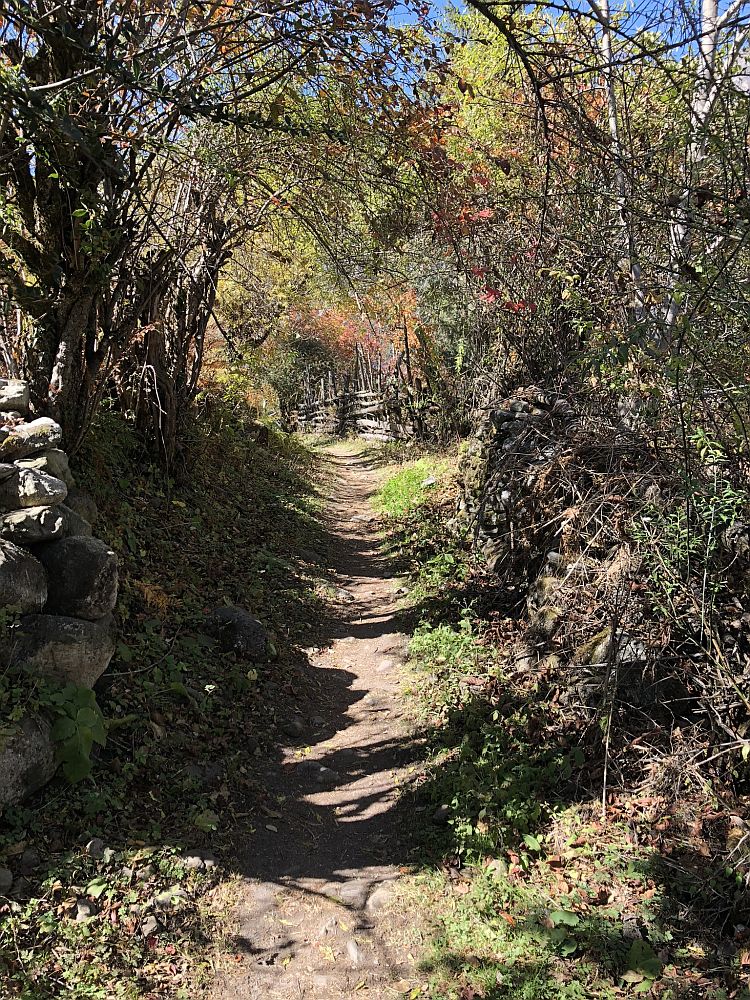
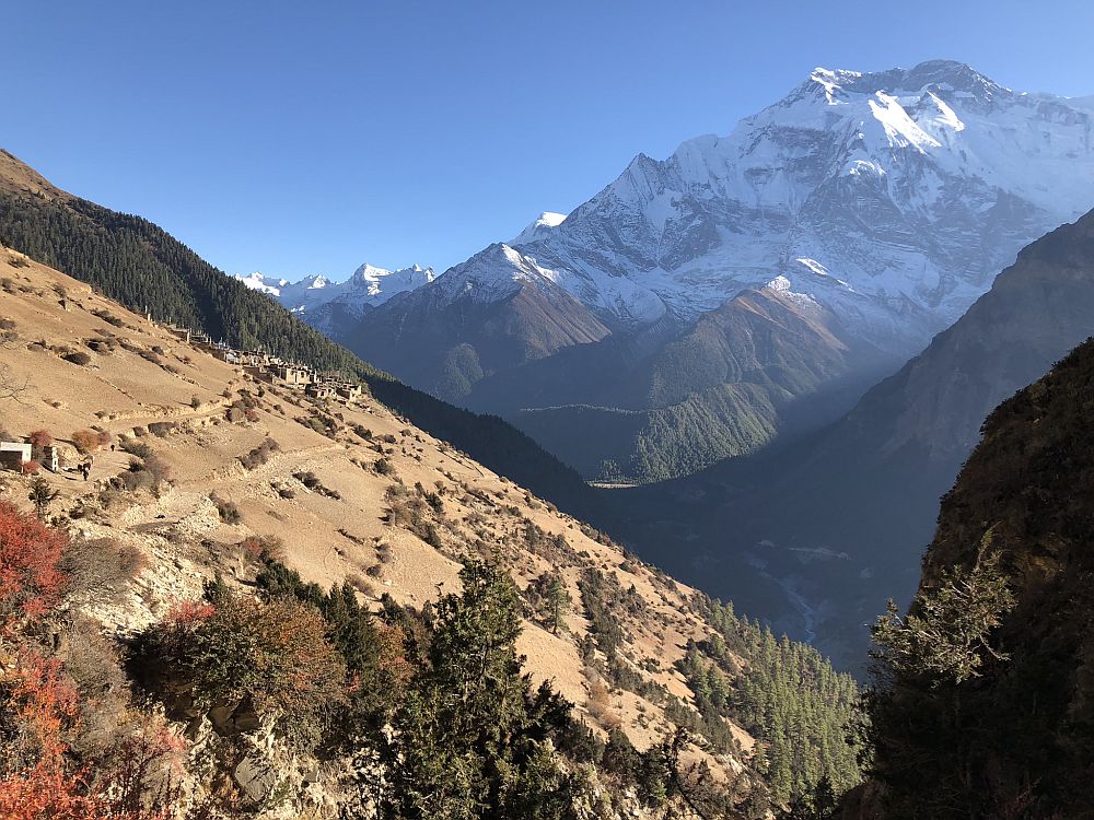
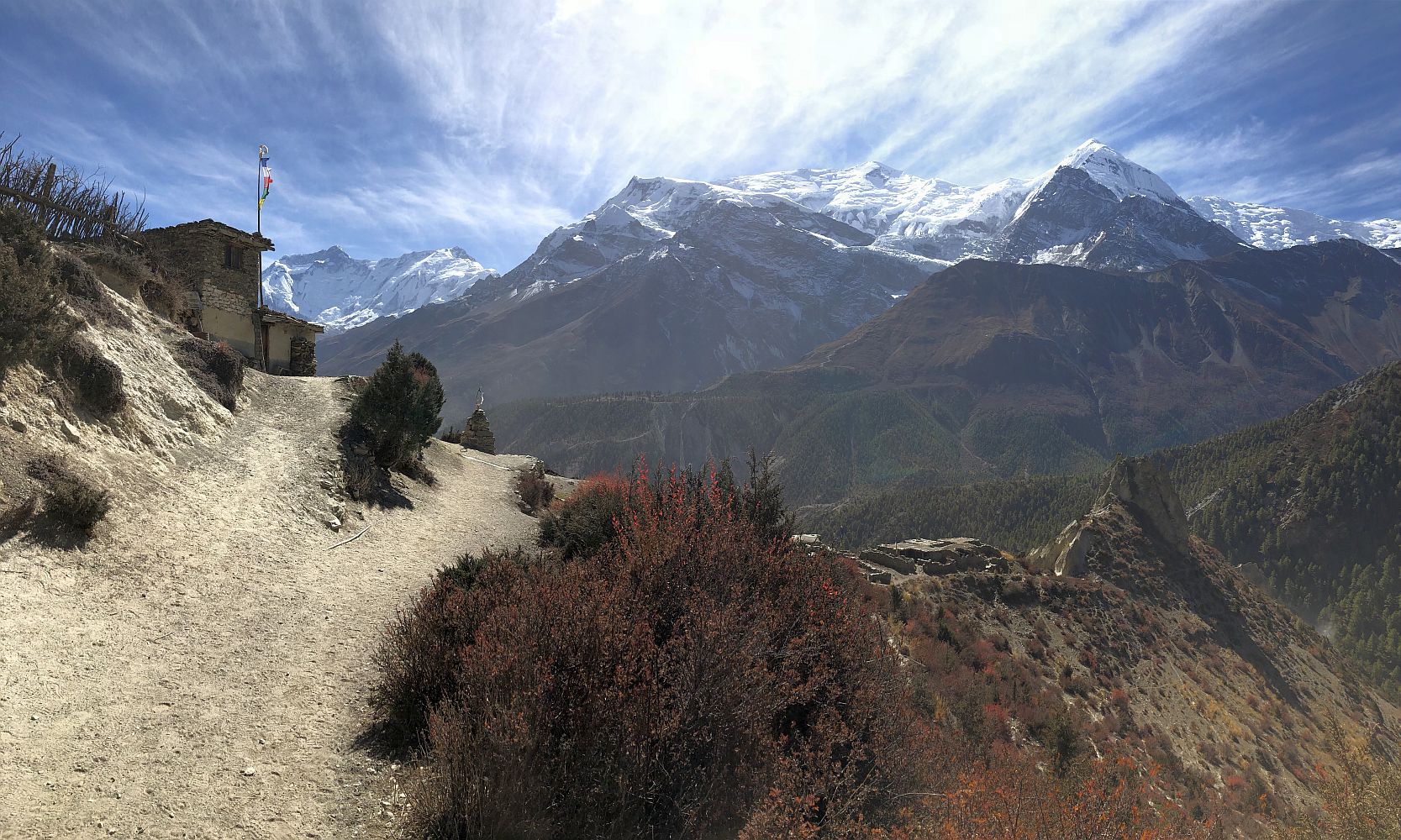
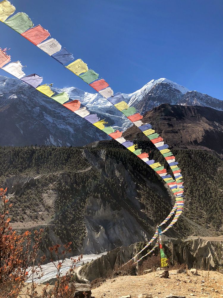
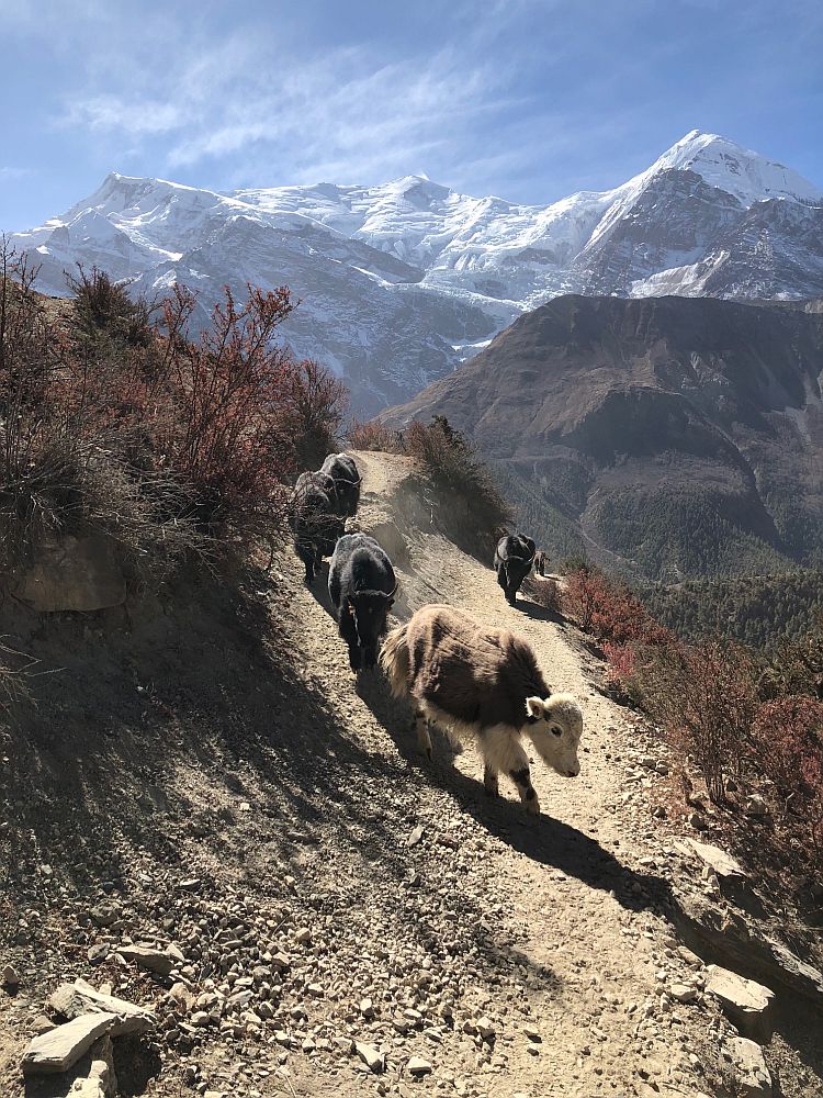
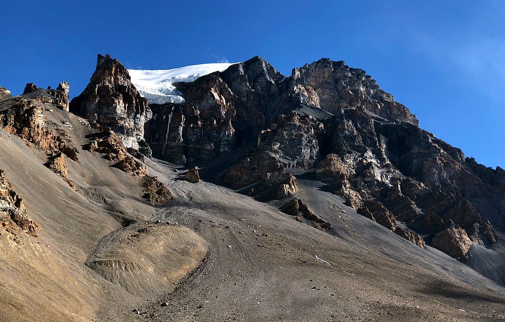
Just getting to the trailhead was a more time-consuming walk than I expected, dead-ending at rock walls and icy streams. I scaled one wall and dodged across a pasture to finally reach the white house, at which point the trail that looked so obvious at a distance was hard to find. I started climbing up the hillside without the trail, figuring I could find it with the benefit of a high perch. From above, there were many, many trail laced through the low brush, so I chose one that seemed to go in the right direction and started walking. A well-marked trail junction finally confirmed that I was now exactly where I wanted to be, and I was rewarded with a view that was stupendous: in every direction barren brown hills in the foreground where overpowered by massive white jagged peaks of the Mustang Valley in the distance. I ran-walked down the trail full of energy from the gorgeous landscape and the knowledge that I was back on trail. And then in my distracted glee, I completely took a wrong turn, missing the trail to the village of Lubra and heading instead toward a lonely promontory that overlooked a flat desert plain. I consulted my map and the landscape. The open expanses made it easy to realize where I was; I just wasn't where I wanted to be.

Aye yi yi.
My options were to 1) go back uphill to the trail I missed and enter Lubra from the north as I planned; 2) continue east across this plain to the village of Ekle Bhattee and then head south to Jomsom on the Jeep road, a route I had vetoed as unpleasant when I first planned this day; or 3) follow the narrow black line on my map down a little-used local trail that would eventually deposit me just south of Lubra, but on the trail to Jomsom that I had inadvertently left.
I took Door #3, and after the first easy minutes of the walk, I disliked this trail strongly. When the flat plain gave way to a steep descent, the trail was dodgy with loose sand and gravel and an forgiving slide down several hundred feet if I misstepped. I paused several times to consider if continuing down was still a better choice than retracing my steps back up. "Wow. You have really made some interesting decisions today," I said aloud to myself, partly to defuse my nerves and partly to pierce the punishing quiet.

Once the bridge came into view, I felt a little easier. Now I just had to get to it.
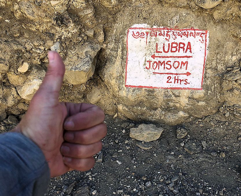
Dry gravel sliding underfoot, I finally edged myself down to the head of the suspension bridge. I bandaged the scrapes and cuts on my hand that were the only, blessed reminder of a spill on my way down and took a moment to assess the bridge's ominous length and height. Earlier in the descent, I had spotted a trio of people walking down this riverbed but now not a soul was visible up and down the massive rocky valley. I walked across the bridge with more trepidation than I had ever felt on one of these ubiquitous spans; its lack of use removed the usual reassurance, "people and yaks cross this all the time!" The clanging metal footbed and natural sway of the bridge had me taking deep breaths and walking quickly. I stepped off the bridge onto firm stone at the far end with a massive sense of relief, and a painted trail sign on the rock greeted me with good news: Jomson was a just a couple of hours away.

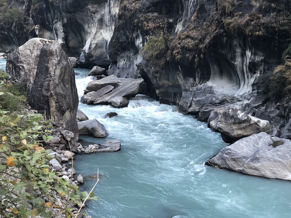
Panorama of the Panda Kola.
Jomsom, heck yes!
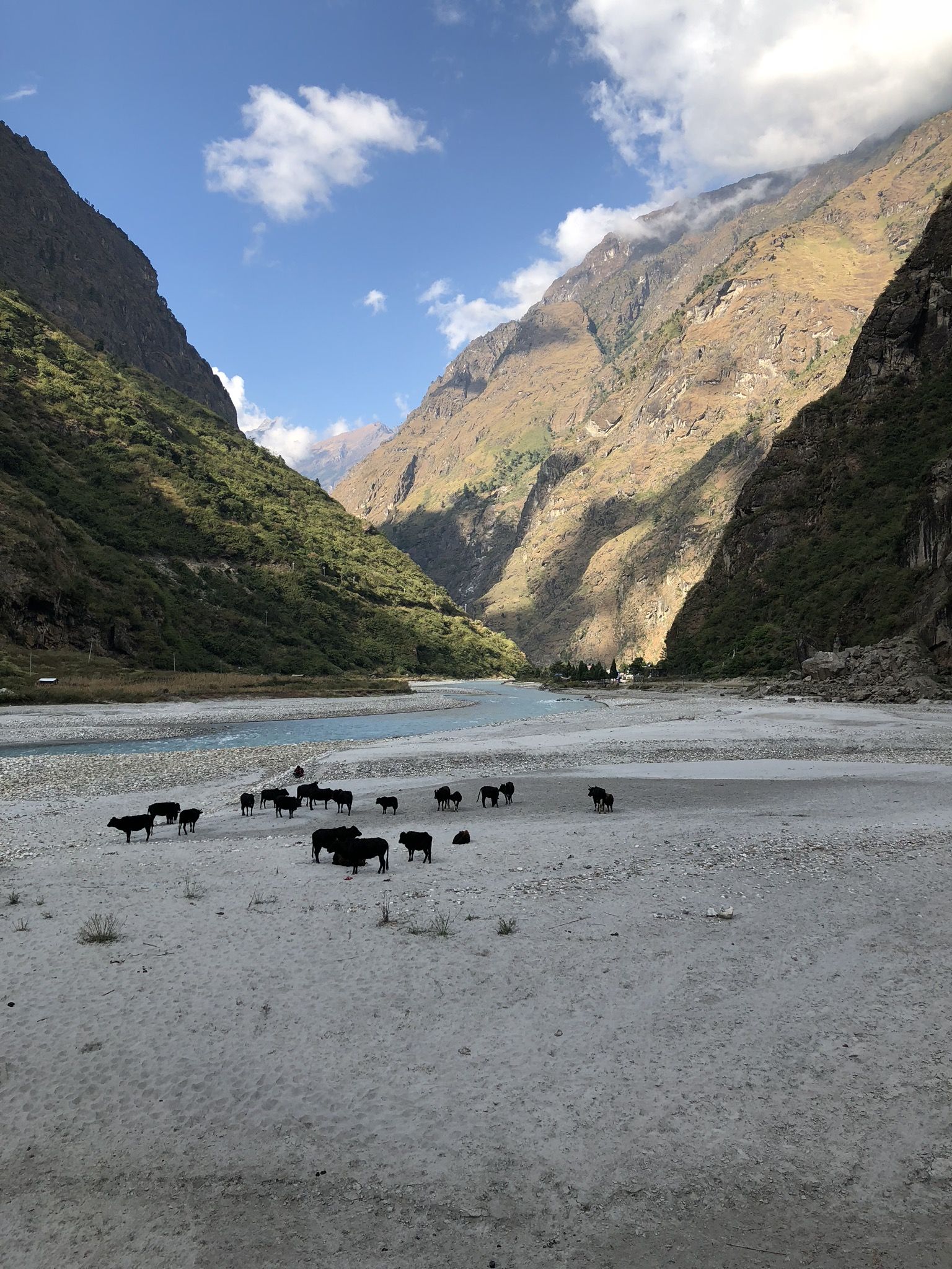
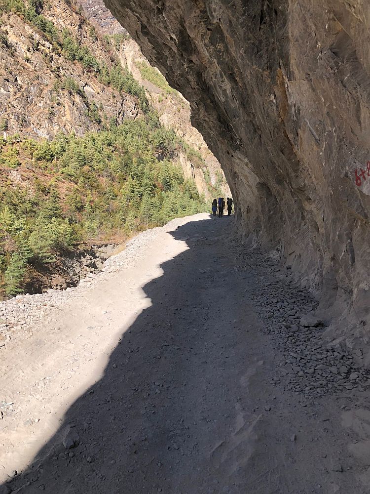
I worked my way down to the Panda Kola river to follow the path I'd see others taking from high above. This wide, rocky riverbed joined the wider, dustier Kali Gandaki Nadi river not far from here. The thin veins of water that run across these rock fields hardly seem able to carve the deep, wide canyons above them. Despite the rocks and dust, the flat exposure of these riverbottoms makes them the preferred path of travel for trekkers, vehicles and animals alike. The roads that trekkers had bemoaned as "ruining" the Annapurnas were back, if riverbeds counted as roads. Walking on the rounded, uneven rocks was exhausting and annoying, and soon turned worse: joining the Kali Gandaki Nadi, I turned south into a massive wind tunnel that shot sand and debris at my face and added serious effort to the act of walking forward. The few trekkers on this stretch who hadn't hailed Jeeps from Muktinath to Jomsom were walking directly into stiff, sand-filled wind, alongside buses and Jeeps that kicked up even more dust. For the first time in weeks of trekking, I could sense cracks opening in my tenacity and a bitter dislike of the challenge seeping in. The astonishing mountain views of the Mustang towered on the horizon, and I struggled at moments to appreciate them.
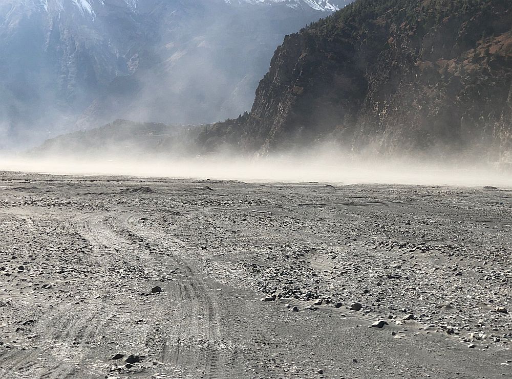
Kali Gandaki Nadi "river" bed.
Eventually I could see Jomsom ahead, and I was still debating whether to stop here or keep going. Just at the edge of Jomsom the river swelled with water, forcing trekkers and trucks out of the riverbed and onto a road. Tired, annoyed and distracted, I picked my way out of the riverbed, surrounded by rivulets. I climbed onto a shaded, grassy bank and noticed a woman doing laundry 50 feet above at a spring. I stepped gingerly onto a tire that was halfway across the sodden patch of grass. As I shifted my weight from one leg to the other, I realized the tire was afloat, and it flipped over sending me straight into the marsh. Splashing nearly up to my waist, I unleashed a volley of hostile sounds that approximated language. My pack weighing me down, I threw my arms forward grasping for solid ground, inadvertently slamming the water bottle I held in my hand against a rock. I slithered out of the cold liquid muck and assessed: I was soaked in mud up to my hips, my shoes were leaden weights of muck, all of it smelled vaguely offensive, and an angry crack in my water bottle was releasing a stream of water with a nonchalance that offered an unwelcome commentary the tableau. I walked, defeated, into town.

Downtown Jomsom.
Jomson's position as the administrative center of the region means the dusty street through town has not only trekking lodges, but actual hotels, bakeries, an air strip with service to Pokhara and even an ATM that occasionally worked. As I walked through town evaluating my options, a German trekker walked with me and pointed out a coffee house that served cappuccino. I had thought I would eschew the luxuries of Jomson, but a sign offering laundry service outside a hotel pretty much made the decision for me. I was aghast at the $15/night cost for the hotel room, but a big bed with a featherdown duvet and private bathroom with intermittent hot water was a pretty great salve for my bruised ego.
The morning had started with such promise, and in the intervening six hours I had climbed through walled fields, walked off-trail up a hillside, picked the wrong trail down a steep precipice to a bridge that worried me, trudged headlong into a scouring wind tunnel, and finally, unceremoniously, fell deep into a fetid, soupy marsh. It was only mid-afternoon, but I was done.
The day was littered with mistakes born of distraction, regrettable decisions and unpleasant conditions. This would serve as the ignominious final day of my Annapurna Circuit Trek. But Type 2 fun!
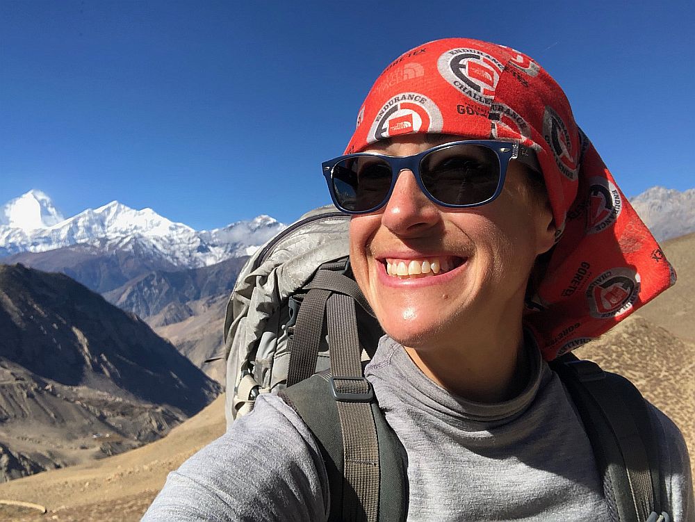
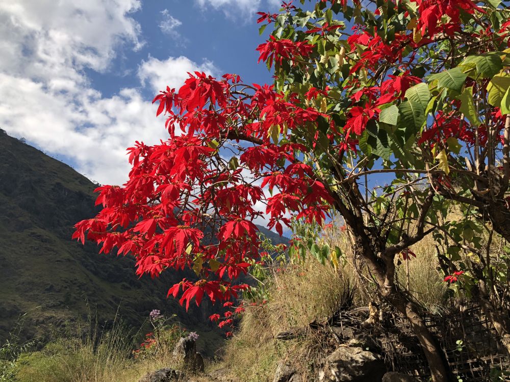
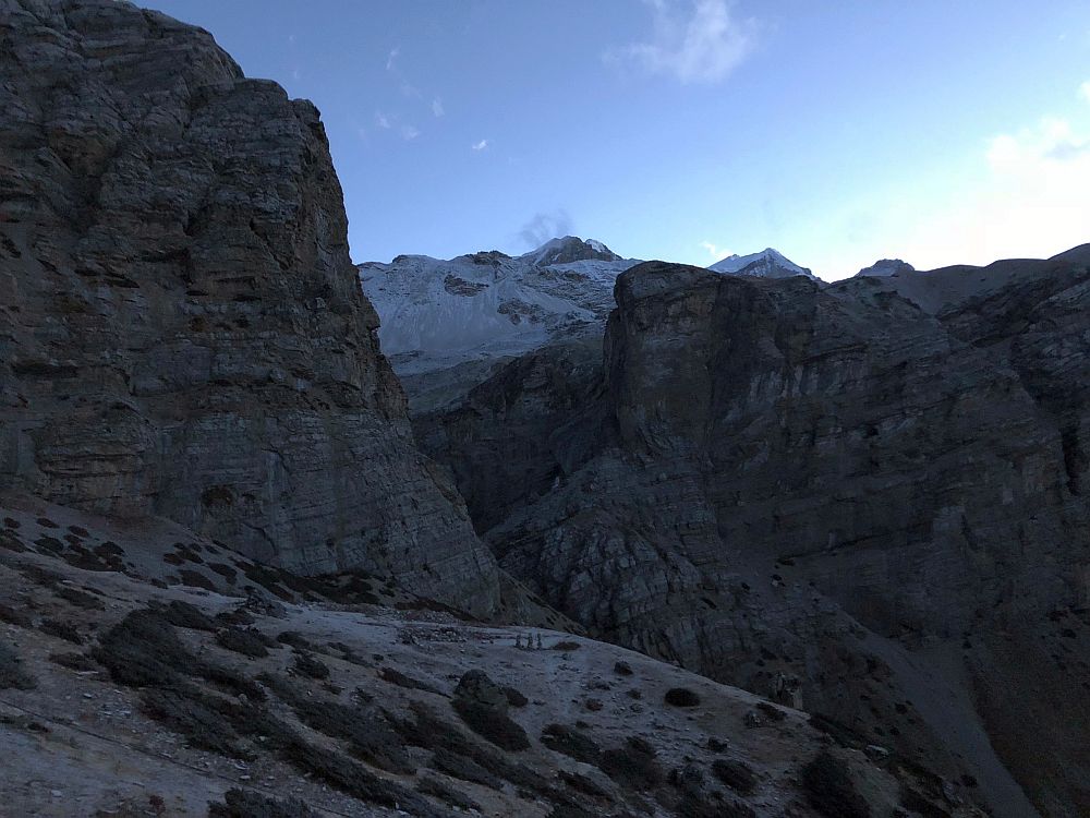
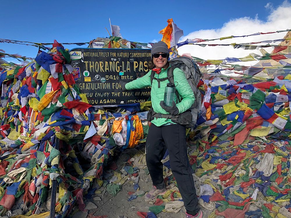
Photo taken during the twenty minutes when everything was great.