Nepal Trek 2: Three Passes, Everest
The blocky, triangular mass of Mount Everest sits on the Nepal-Tibet border reaching (8,848 meters/29,029 feet) and adds a few centimeters to its height each year. The Nepalese name Sagarmatha and the Tibetan name Chomolungma are lesser known, but the one singular fact of this peak is universally famous: this is the highest mountain on the planet.
So no, obviously I didn't climb Everest. Let's be clear about that.
Surrounding Everest are dramatic Himalayan peaks, many of them more beautiful but that just didn't have the ambition to stretch a few meters higher to grab the title. Nuptse, Lhotse, Ama Dablam, Pumori fill the sky with twisting peaks and serrated edges. To hike among these peaks in the Everest region means crossing from one deep glacial valley through a cut in the mountains and tumbling down into the next valley, and so on. The mountaintops are out of reach without mountaineering equipment, expertise and a death wish, but the high passes are accessible to hikers who are willing to work for it.
The Three Passes trek is a massive loop that encircles the Everest region, taking you up and over three extremely high mountain passes: Kongma La (5535 meters/18,265 feet), Cho La (5380 meters/17,754 feet) and Renjo La (5388 meters/17,780 feet). And while these were the highest heights I climbed, it's interesting to remember that they are the low spots in their respective ridgelines; each pass was a small sag in the rock face, the "easiest" way to get to the other side of the mountains.
The Route
We started from Phakding and our first overnight was up the trail from Namche Bazaar at Khyangjuma, then I spent two nights at Tengboche for acclimatization, one night at Dingboche, two nights at Chhukung for more acclimatization before taking on the first of the passes. From Chhukung, we tackled the first pass, Kongma La, and stayed in Lobuche for two nights; from Lobuche I did a day hike up to Gorak Shep and up Kalapatthar (meters/feet) for spectacular views of Everest; next we climbed the second pass, Cho La and then stayed in Gokyo for two nights. After Gokya, we climbed the third and final pass, Renjo La and then walked down the valley all the way south to Thame Teng. The final day was a lazy walk back to Namche Bazaar to finish the circuit.
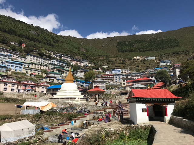
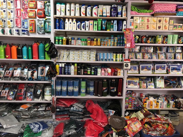
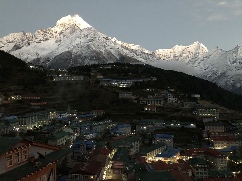
Namche Bazaar is a commercialized carnival of trekking supply stores, western restaurants and guesthouses. But this last-chance town on the Everest frontier also sits in a grand natural amphitheater that deserves to be appreciated. In Namche, you can buy airline tickets, indulge in chocolate cake and cappuccino, tap into free WiFi and load up on any supplies you forget to pack -- from toilet paper to trekking poles. I skipped the poles, actually, but I did rent a down sleeping bag in Namche.
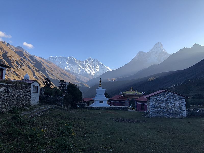
Sunrise at Tengboche, Days 3-4. The knobby peak of Ama Dablam on the right was my favorite mountain in this part of the trek - people describe it as a "thumb" that sticks up, somewhat apart from the other high peaks.
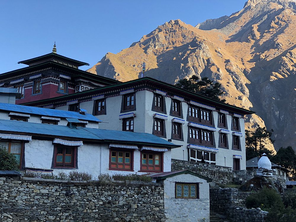
During an acclimatization and rest day here, I spent a few hours at the Tengboche monastery watching the monks pray. Horns, drums and chanting are the soundtrack of worship here, and it's a booming joyous noise that stays just on this side of cacophony. During the service, the monks walked a khora around the outside of the monastery, and elderly monk who stayed behind gave me a friendly nod of permission to walk with them.
Leaving Dingboche on Day 5, looking back at town from the stone walled fields. The trees have now disappeared at this altitude, but yaks still graze here on grass and scrubby shrubs. At Dingboche, we met a Tibetan guesthouse operator name Takshi Lama, who totally charmed us with his curious, quick sense of humor, ruminations on life and delicious apple cake.
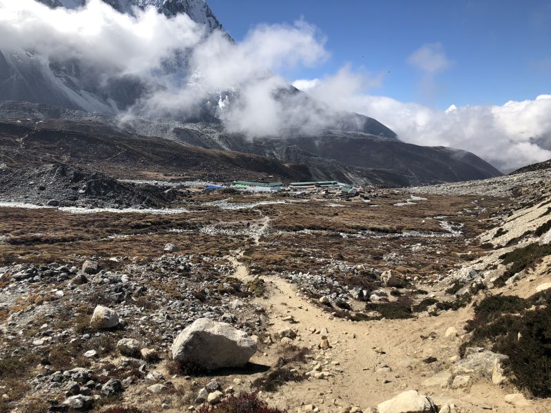
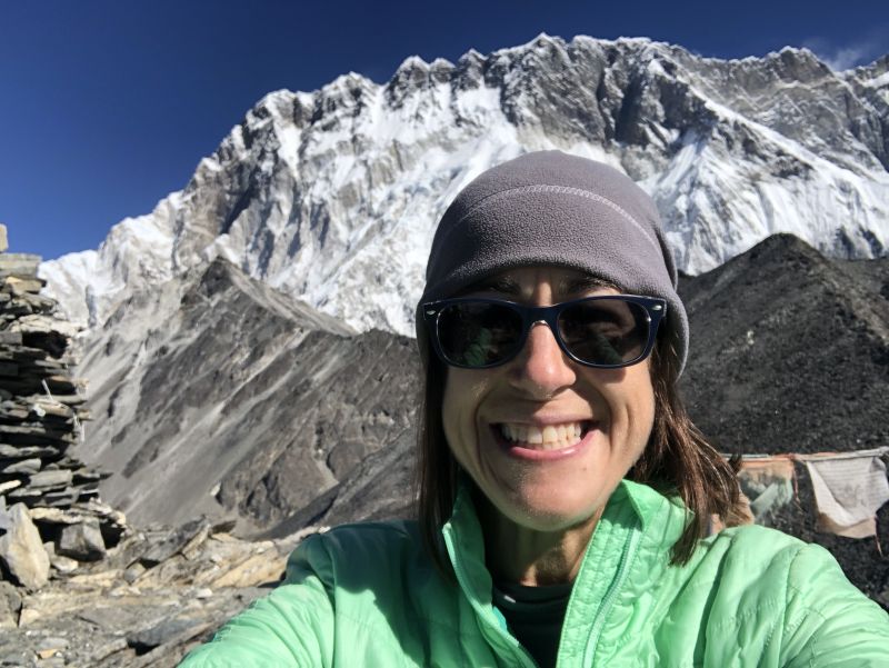

Chhukung is a tiny smear of a village, just a handful of guesthouses for trekkers and not much else. On the map, it looks like a slight detour from the counter-clockwise circle of the Three Passes Trek, but it serves a solid purpose in giving people good exposure to high altitude. We spent two nights here, and during the "rest day" climbed the nearby hill of Chhukung Ri (5,550 meters/18,209 feet), my first time hiking at altitude! Climbing up was a slow slog, the smallest effort of walking 20 feet forced me to stop and catch my breath. This would be become a familiar experience over the next several days.
First Pass: Kongma La (5535 meters/18,265 feet)
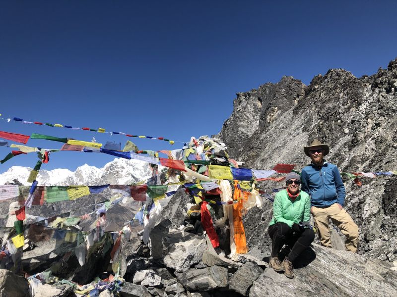
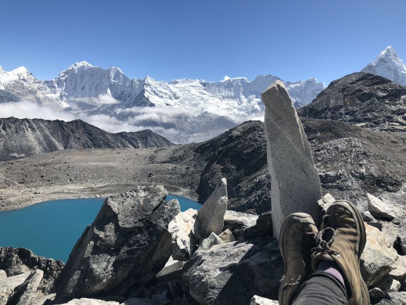
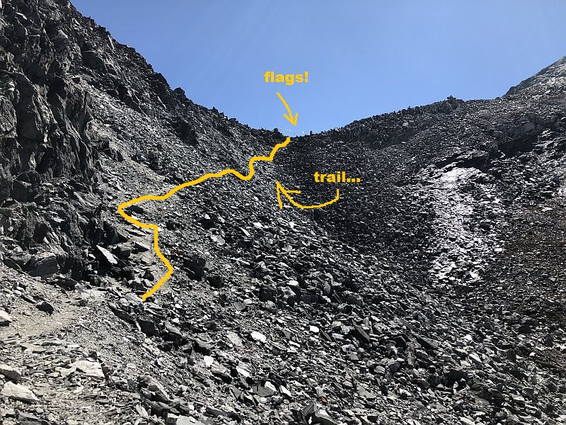
My journal entry for this day begins, "Holy hell, this was much harder than I expected...." We set out at 7 a.m., walking into some fog that made it hard to find the trail. After walking off-trail up the side of a steep hill, we joined the actual trail headed up a valley toward the pass. The topography tricks you here, with false peaks and blind curves. One uphill section was particularly rough: tight, steep switchbacks through deep shards of rock. Sliding feet, off-balance, and long hard way to fall if something goes wrong. Getting through that section was a relief, but we were still far below the actual pass. The trail provided a respite with an even walk among a few bright blue-green ponds before the real test presented itself. The passes are crowned with multi-colored prayer flags, and spotting those flags was an awesome relief. One last stiff climb over boulders and rock face and we were at the top! The views back down the valley were stunning, and now we could also look west to take in the terrain we had to descend.
The descent was a bit ugly. The western slope of Kongma La is a nasty, steep scree field of jagged rocks. There is a trail, but rather than a single-track of exposed dirt it's a barely discernible thread of compacted rock that slides underfoot. Eventually, this gave way to actual ground, and we walked happily, naively up to the sidewall of the day's final challenge: we had to climb up into and across and then out of a glacier.
A friend we met on the trail, Abbey, picks her way across the glacier from Kongma La to Lobuche.
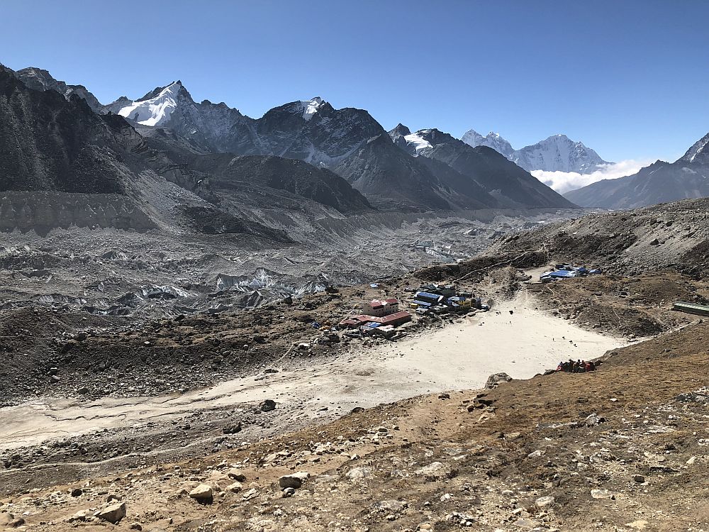
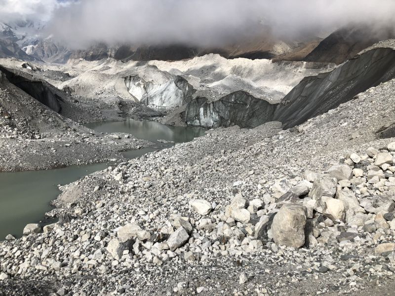
"Glacier" might bring to mind a wall of white snow and ice, but the glaciers in the Everest region are all receding, I've read, and this glacier looks more like a moonscape than a snowcap. The shape of it is a massive river of sand-coated ice flowing north-south, and our task was to find a pathway directly across it to the town on the far side. High sidewalls form the outer edges, and between then is a disorganized slurry of rock, silt, ice and water.
Climbing the far sidewall of the glacier deposited us with relief into the settlement of Lobuche. The entire day of hiking took more than seven hours, and I immediately crashed when we checked into the guesthouse.
Everest
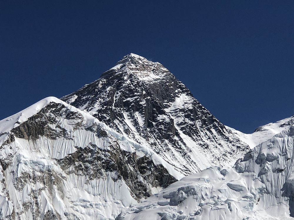
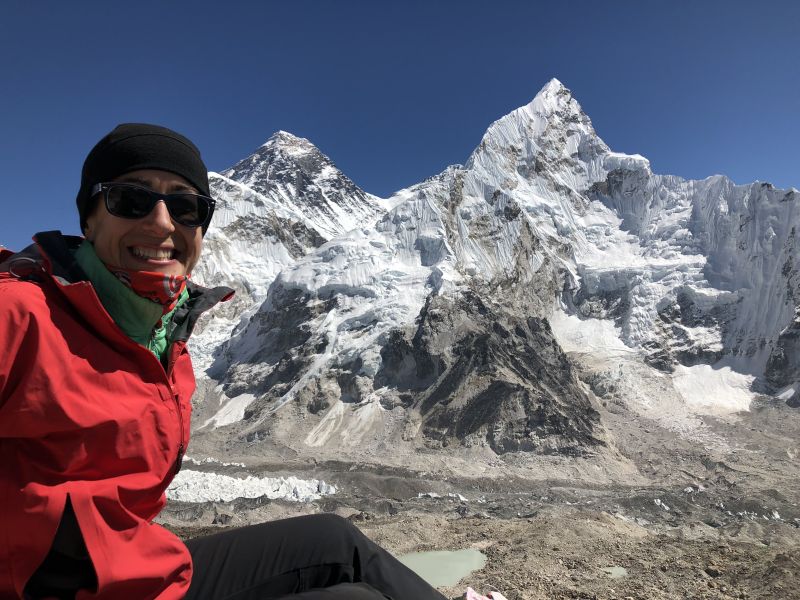
We stayed two nights in Lobuche to make time for a day hike up the valley toward Mount Everest. Here, the Three Passes route meets the human highway of people of trekking to Everest Base Camp, an easier route that is still no slouch. From Lobuche, hundreds of trekkers set out north to Gorak Shep, which is just a couple of guesthouses and helipad on flat spot in the valley. From Gorak Shep there are two destinations: Everest Base Camp is a few hours walk to the northeast; and Kalapatthar, a stiff climb to a spectacular hilltop at 5,550 meters/18,315 feet. I skipped the walk to EBC itself and instead hiked up Kalapatthar for spectacular views of Everest, Nuptse and entire panorama of the Himalaya.

Second Pass: Cho La (5380 meters/17,754 feet)
The first pass I approached with zen-like resolve, and the relief of that accomplishment freed me to really have FUN climbing the second pass. Cho La freaking rocked! We had hiked a very short day from Lobuche to Dzongla, where fog descended by afternoon and pressed against the windows of the warm dining room where 20 of us passed the time. The next morning dawned with ice on the inside of our windows, and set out west for Cho La.
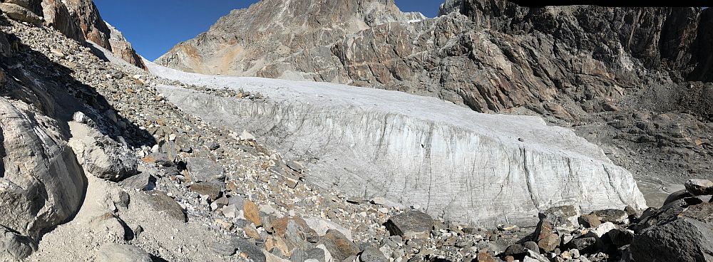
Side view of the glacier at Cho La Pass. We climbed from here, over the ice to the high point at the upper left.
The climb was steep, no surprise, but most of the elevation was gained in a long stretch of scrambling and climbing through boulders. Tumble-down rock piles are so much more fun to climb than slippery scree slopes! We emerged from the boulders to a viewpoint that looked east down the valley toward Dzongla, but more impressive was the view right in front of us: a massive white glacier. Unlike the sand-filled ice quarry that drained my energy a few days earlier, this was a field of ice and snow cascading down from the pass. The glacier was shot through with running meltwater that we could hear beneath our feet and see between the fissures in the ice. (This was one of the few times in the entire trek that I wished for trekking poles.) The bright blue sky and warm sun lit up the white ice and put everyone in a happy mood. Icy snowballs were thrown, people stared at each other with giddiness, two Nepalese trekkers cranked up the music on their phone and broke into dance party in the middle of the ice. From the glacier we could see the flags marking the pass, and it was just a few hundred more meters of climbing over rocks to reach the top. Triumph! I loved this day so, so much.

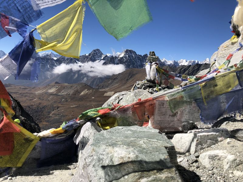


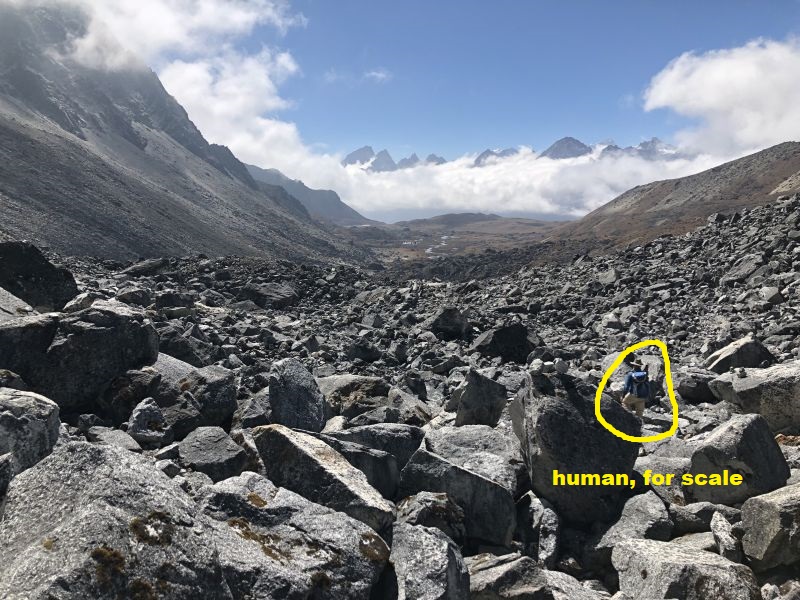
The backside of Cho La is not so nice. Similar to the backside of Kongma La, there were a lot of rocks to climb through, but these were easier to navigate. A long, long walk through a valley led to a much-needed stop for tea and soup. We reunited with Abbey and Corey here, then set out to cross another rock-sand-ice glacier, this one even larger and more ominous that the one that followed Kongma La. We stood on the sidewall and looked across, not able to see the town of Gokyo, our destination somewhere on the far side. The trail through this glacier was much easier to find -- a season's worth of trekkers had worn a reliable path here. But as we walked we could hear the glacier alive beneath our feet -- cracks, moans and shifts in the sandy ice were mesmerizing, but I was also stricken by thoughts like, "Let's just get the hell out of here as fast as possible..."
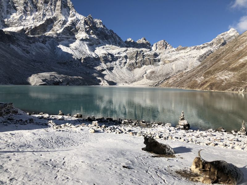
Finally, finally, finally emerging over the sidewall was a relief, and a bit later we were rewarded with a view I'd been looking forward to ever since Beth and Michael described Gokyo with dreamy voices. The town's lodges are nestled between snowy mountains and one of the opaque blue-green lakes the region is known for, and just stunning.
Third Pass: Renjo La (5388 meters/17,780 feet)
Gokyo was lovely but so, so cold. We took a rest day here, and the timing was great: that day was socked in with fog, hovered below freezing and turned to slight snow in the evening. I spent most of the day huddled near a stove with Jill, Abbey and Corey playing cards, drinking tea and genuinely resting. I also walked over to the Fitzroy Hotel on the advice of a Scottish doctor who's living here for the season and paid $6 to take a hot shower. Eight days of hard hiking had passed since my last shower, and this was possibly the best six dollars I've ever spent. The gas-fired water heater was no joke -- the water was wonderfully scalding, and sent plumes of hot steam billowing around the small bathroom. (The mildewed curtains and exposed electrical wiring didn't dampen the joy of it at all.)
A screaming headache woke me up hours before our planned early morning departure for the third and final pass. I had intermittent headaches at high altitude, but usually in the afternoons after climbing high. I tried to drown it in ibuprofen and by 6:30 a.m. it was definitely more tolerable. Looking back on the previous day, I realized dehydration was a likelier culprit than mountain sickness, and figured I would give Renjo a try. If the headache came back stronger, I could I always turn back and stay another night at Gokyo.

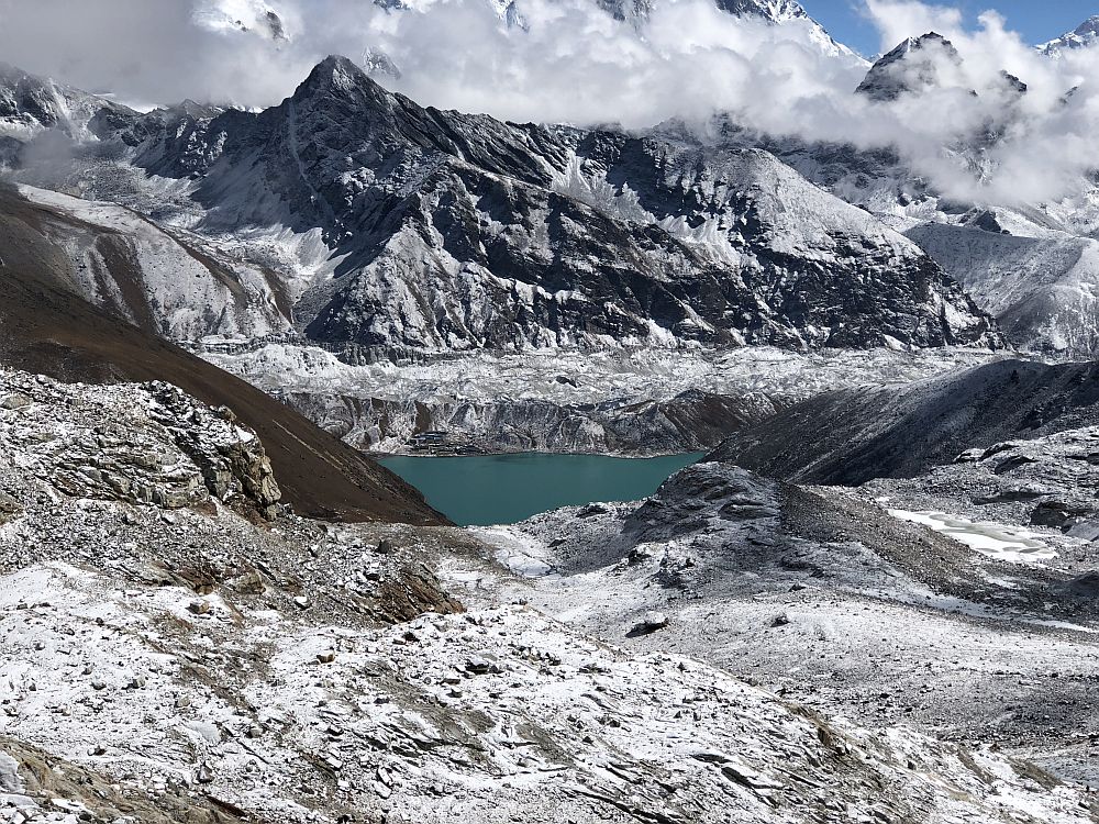
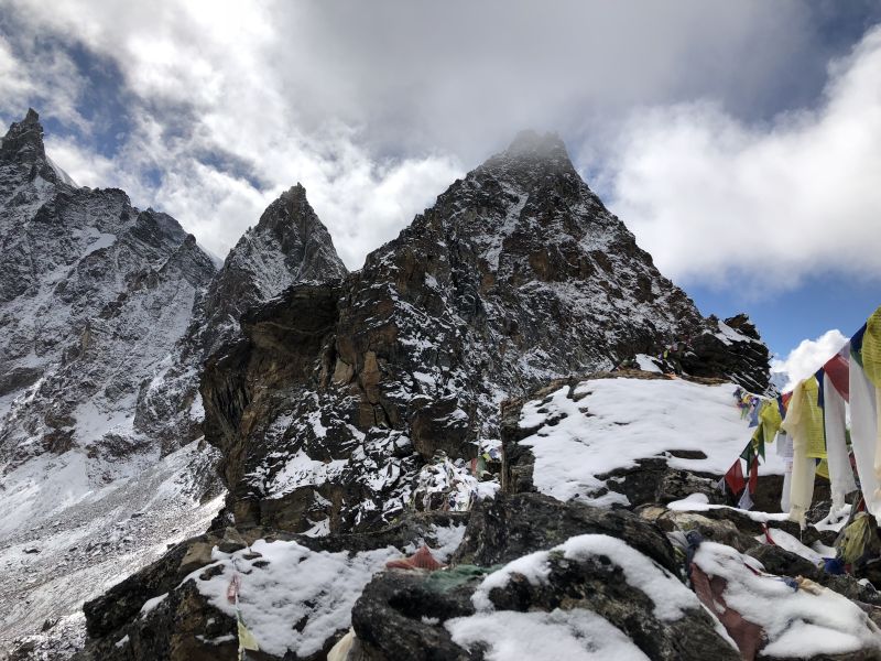
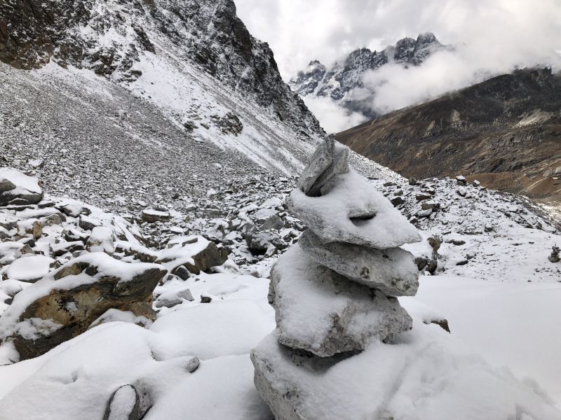
The climb up Renjo was the easiest of the three passes, but my hiking was molasses slow. Altitude seemed to have a more deleterious effect on me at this point than earlier, which was annoying as well as counter-intuitive. Twenty steps left me panting like I had sprinted 200 meters on a track. Lots of pausing to catch my breath, which happily also created time to take in the views. The final climb up to the knife-edge of the pass seemed interminably steep and high overhead, but after a not-too-long series of switchbacks we had already made it! The wind was fierce, but the snow that fell the night before dusted everything in a silvery white sheen. Spectacular.
The walk down the backside was long and steep and the snow made it slippery. The trekkers hiking uphill from west to east had a miserable climb ahead of them; I didn't envy them. Four of us were walking together and making quick work of it. Lonely Planet suggested taking a couple of days to cover the stretch that we banged out in one day. At a lunch stop we asked a guide how far we were from the large town of Thame, where his group was heading to. "My group will take 3 1/2 hours. You guys are faster, maybe 2 1/2 hours." How long would it take you to do it on your own? I asked him. "Me? 45 minutes!" he laughed, as he poured himself a cup of tea.
We walked hard and made it to the edge of town, Thame Teng. An enterprising guesthouse owner was hanging out at the chorten that marked the entrance to town and asked if we needed rooms for the night. She walked us (and her cow) down the dirt lane to her house, where her teenage daughter spoke perfect English and was a great host. (I was more than a little proud that she was shocked we had walked from Gokyo, over the Renjo, all the way to Thame. Hell yeah!) We warmed ourselves around the yak-dung-burning stove and feasted on the ubiquitous meal of the trail, dal bhat. Outside in the yard, two baby yaks snoozed in the grass and the sky darkened to night.
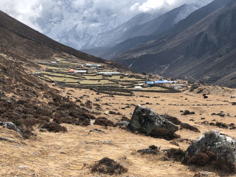

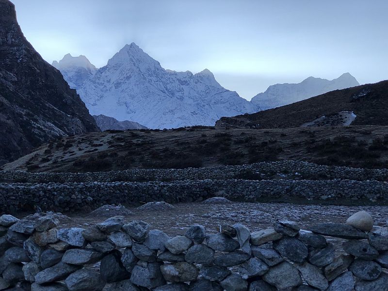
The fast descent from high altitude to the low valley (5,388 meters down to 3,800 meters) revealed a wild change in landscape, vegetation and local settlements. By the time we reached Thame, just a few hours from Namche bazaar and the trek's conclusion, trees had returned and the scent of evergreen needles was strong. Electric lines reappeared, linking houses and villages with singular, swooping blacks lines. We stopped at a Tibetan Buddhist monastery and sat in the prayer hall as the students -- teenagers and younger -- sat in the warm robes and chanted the scripture. As we sat quietly on mats in a sunny corner, a tray of hot tea appeared to welcome us. It was perfect, meditative moment of appreciation to remember the trek by.
[Phakding-Three Passes-Namche-Lukla: October 17-31, 2017.]

